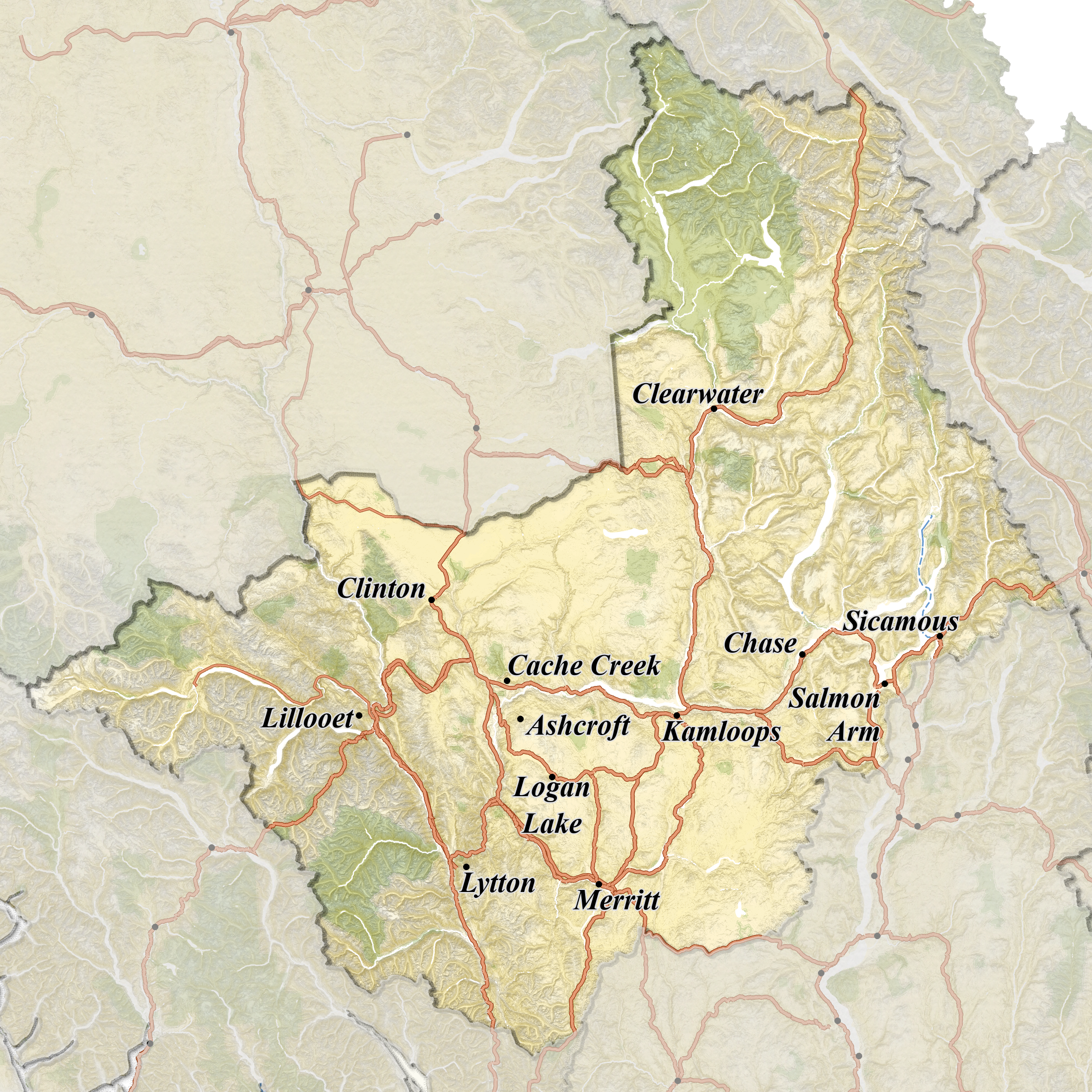
Offroading - Region 3: Thompson-Nicola
The Thompson-Nicola region is home to an incredibly diverse array of ecosystems, ranging from high alpine meadows to lush rainforests. In the eastern part of the region, you'll find the Rocky Mountains, which are characterized by steep peaks, glaciers, and crystal-clear lakes. This area is a mecca for hikers, mountaineers, and wildlife enthusiasts, with abundant opportunities for spotting bears, moose, elk, and bighorn sheep.
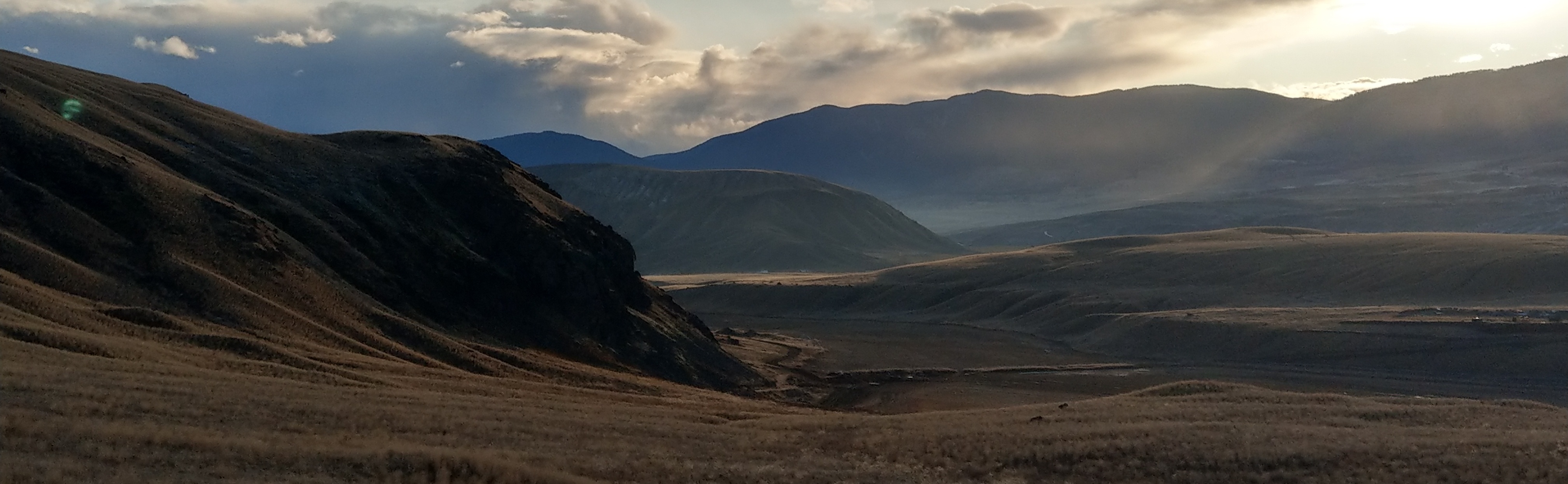
Moving westward, you'll encounter the rolling hills and grasslands of the Thompson Plateau, which offer a stark contrast to the rugged mountains of the east. This area is known for its semi-arid climate and is home to a variety of plant and animal species that have adapted to the dry conditions.
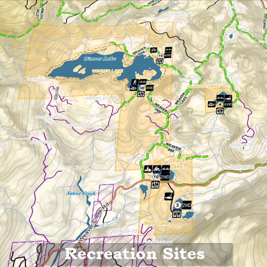
BC Recreation Sites & Recreation Reserves
- Number of sites
- Vehicle access types
- Trailer & Cartop Boat launches
- Activities
- Maintained, user maintained, & non-maintained sites
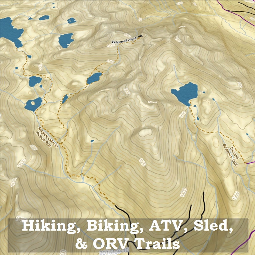
Recreation Trails
Viewpoints
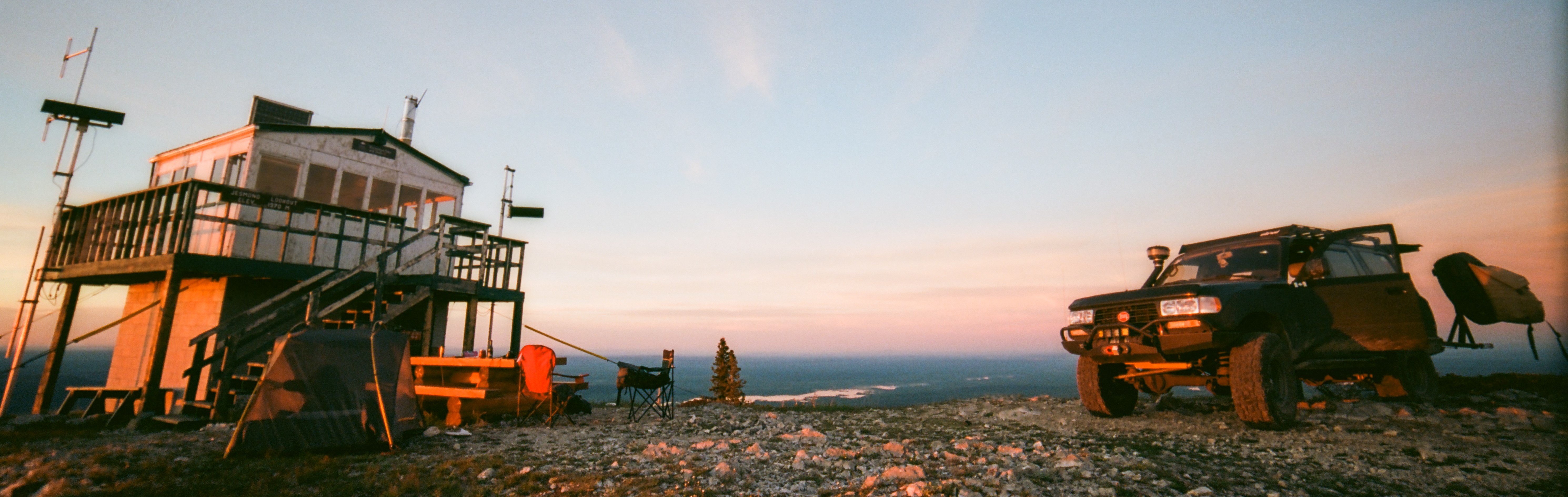
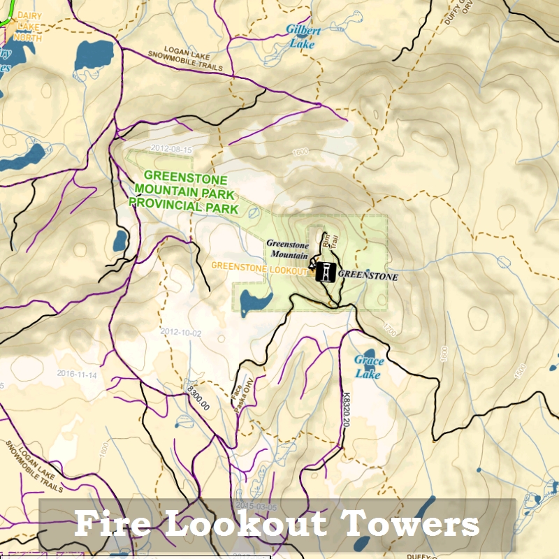
Fire Lookout Towers
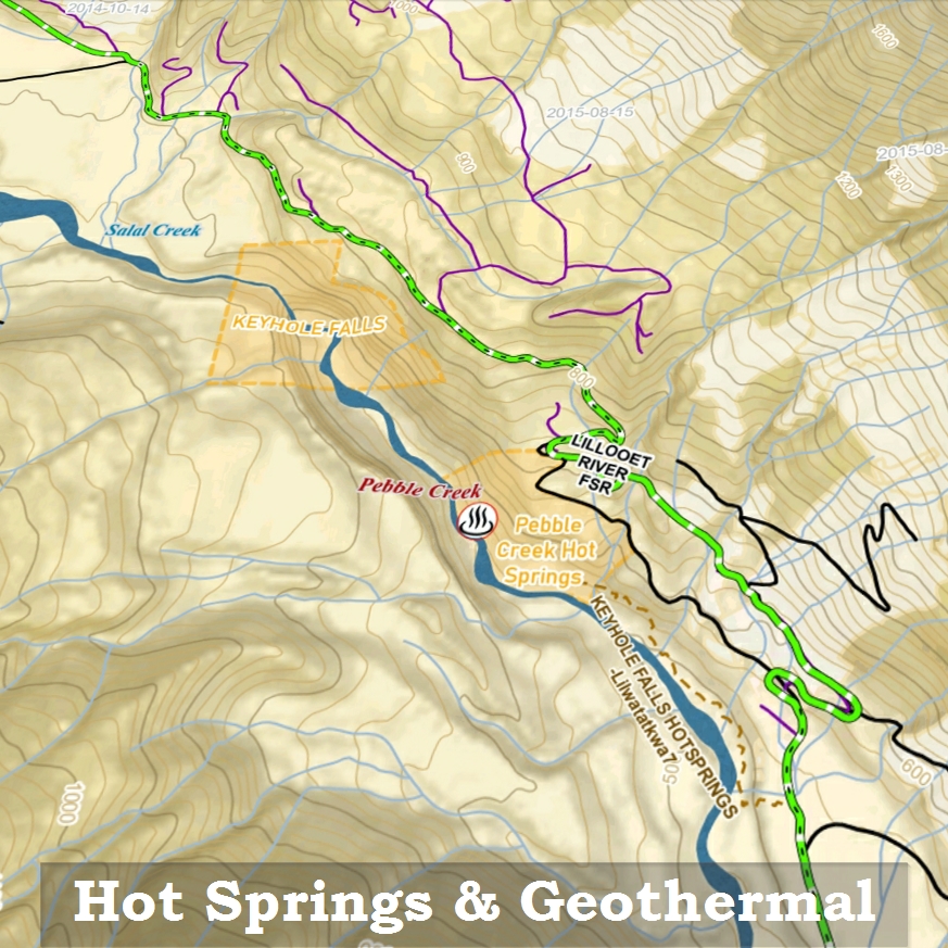
Hot Springs
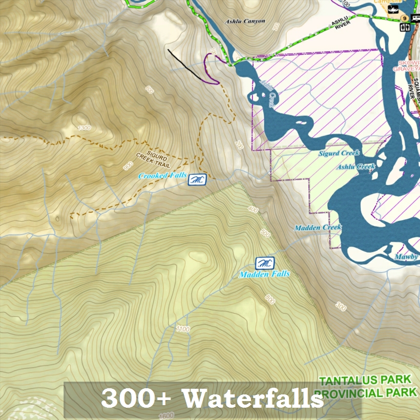
Waterfalls
Stops of Interest
Highway Rest Stops
Coastal Kayak Campsites
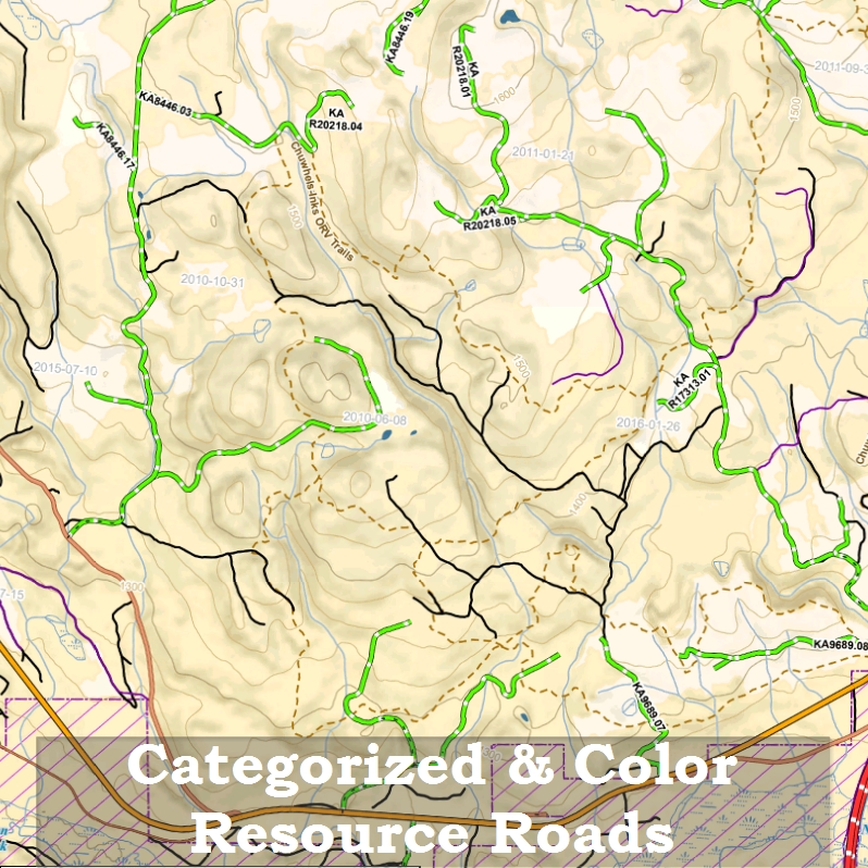
Categorized Roads & Resource Roads
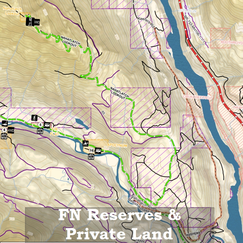
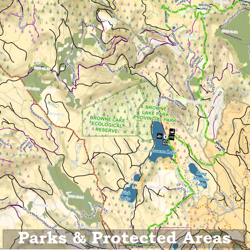
Legal Boundaries
Big Treed Old Growth
Ancient Old Growth
Historical Forest Fires
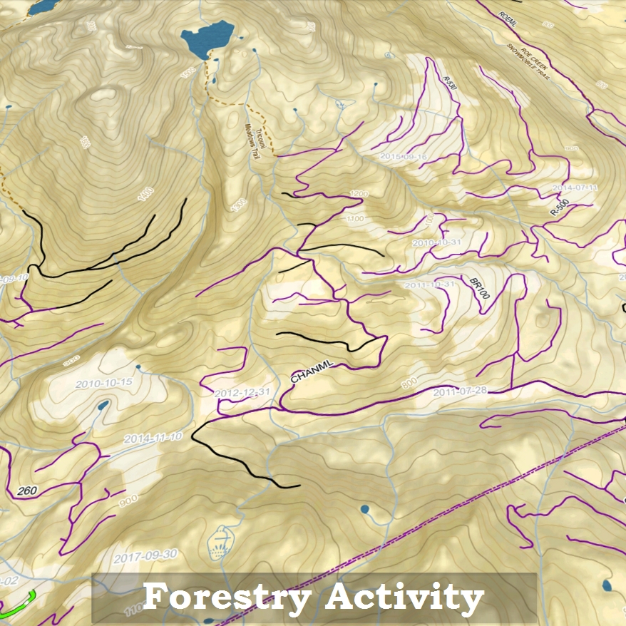
Forestry Data
Login
Purchase the Full Pack, or Shop Single Regions

CA$56.00*

CA$149.99*

CA$56.00*
CA$56.00*

CA$56.00*

CA$56.00*

CA$56.00*

CA$56.00*

CA$73.50*