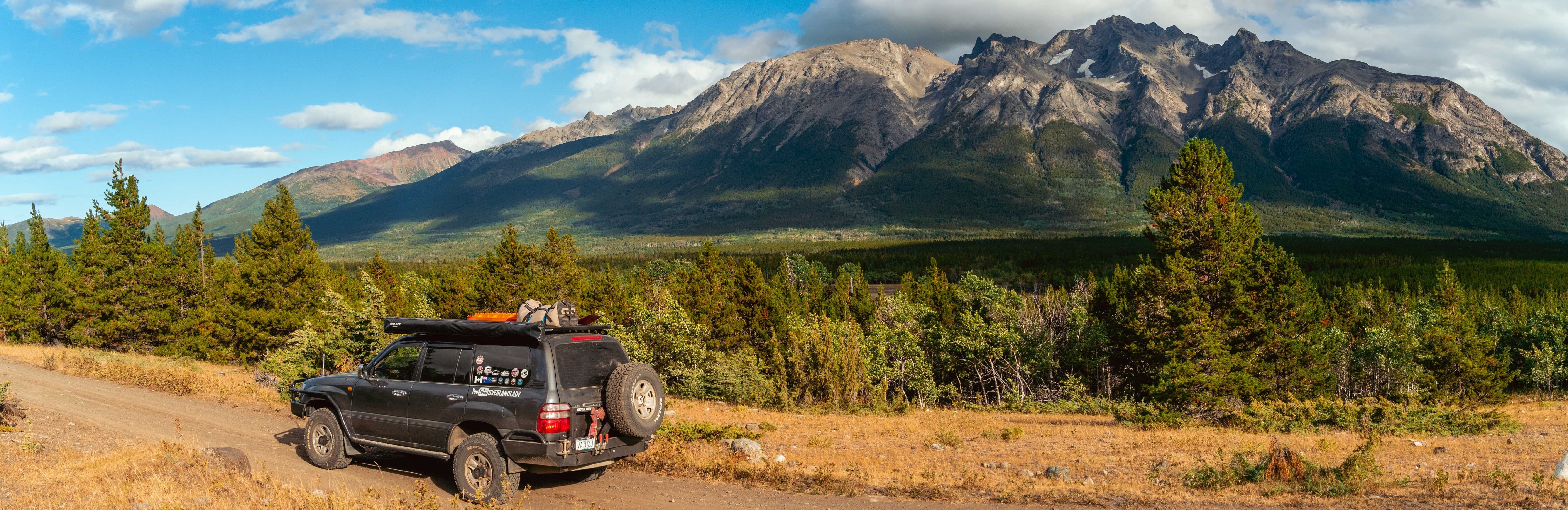
Offroading - Full BC Coverage
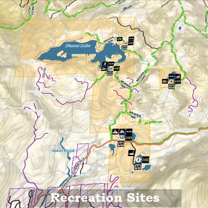
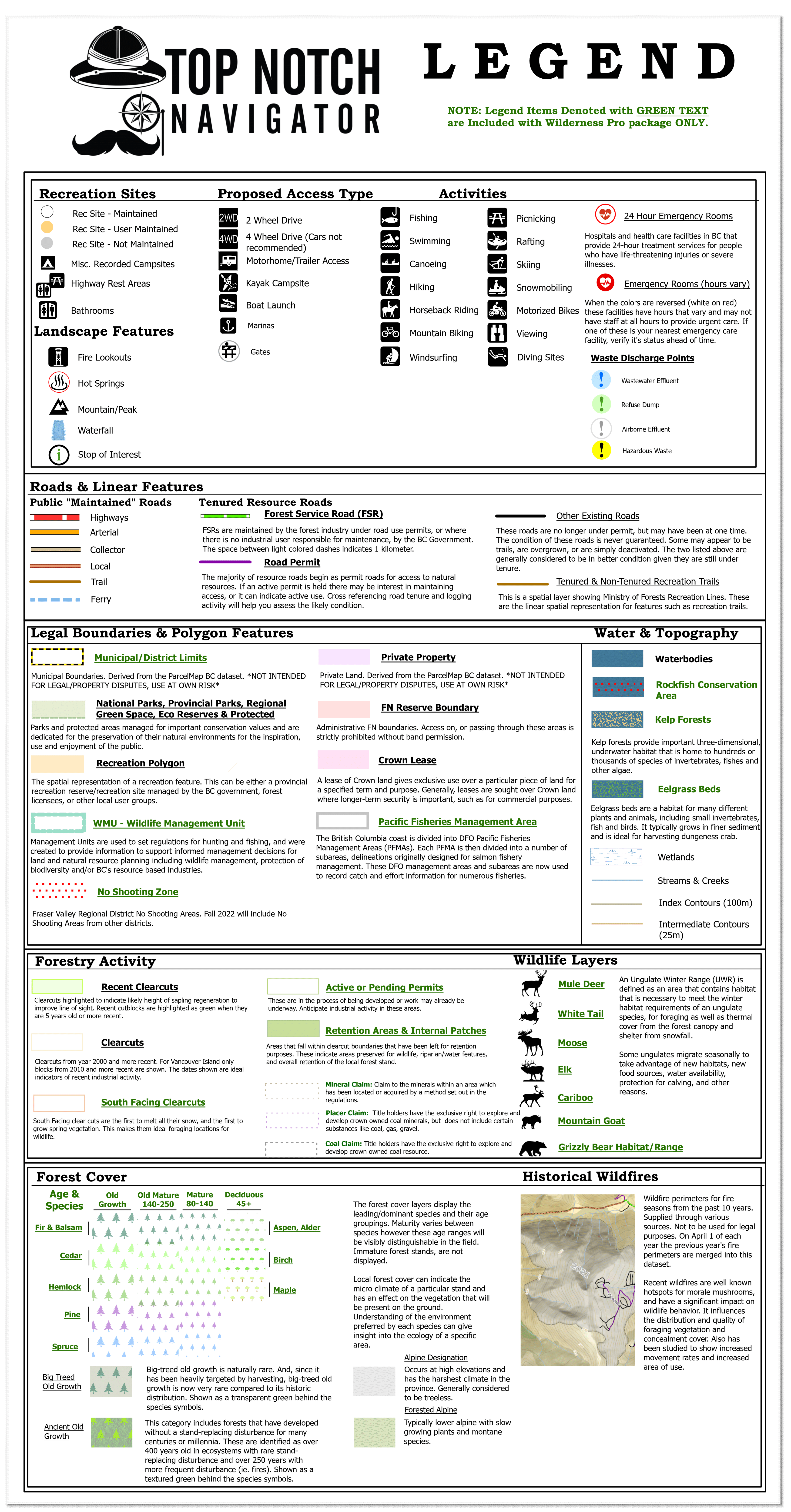
BC Recreation Sites & Recreation Reserves
- Number of sites
- Vehicle access types
- Trailer & Cartop Boat launches
- Activities
- Maintained, user maintained, & non-maintained sites
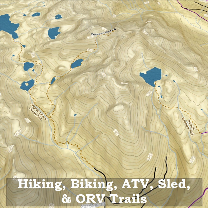
Recreation Trails
Viewpoints
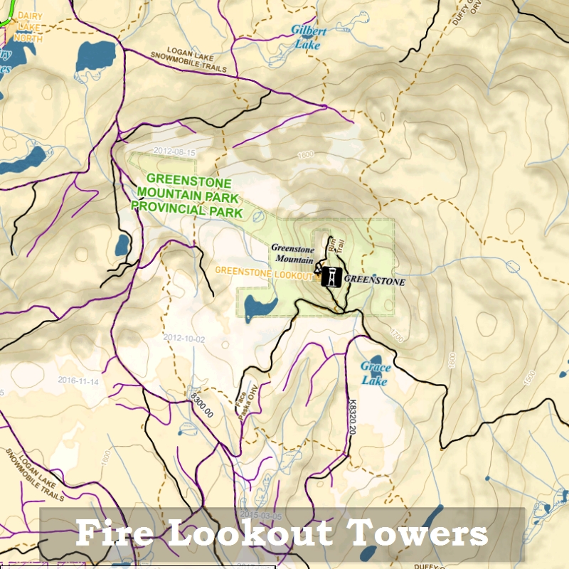
Fire Lookout Towers
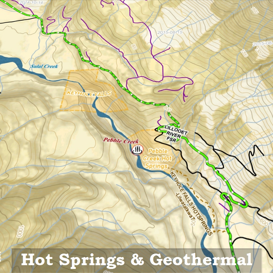
Hot Springs
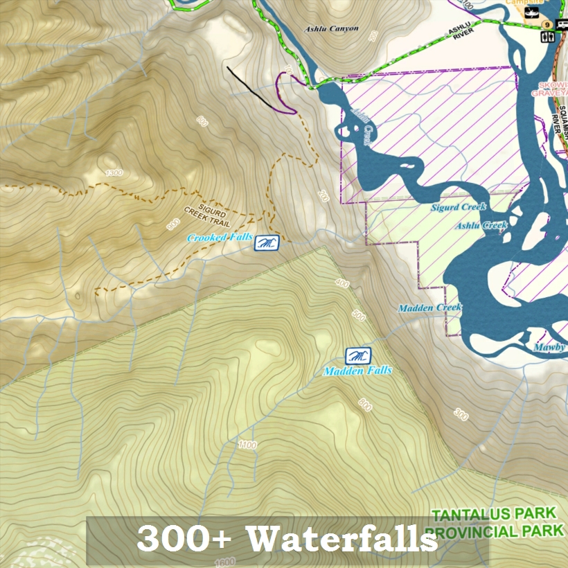
Waterfalls
Stops of Interest
Highway Rest Stops
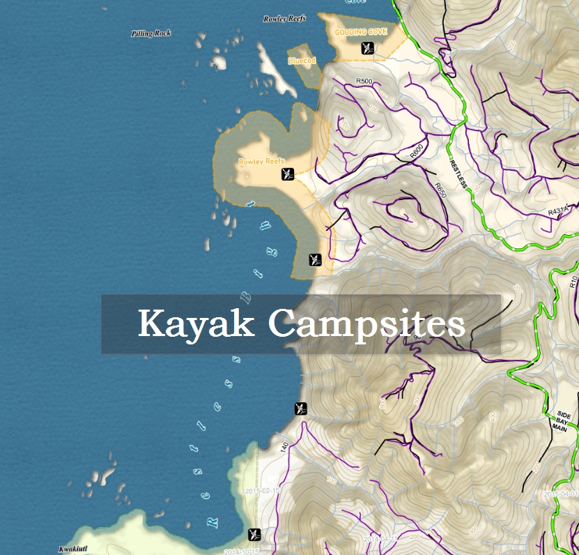
Coastal Kayak Campsites
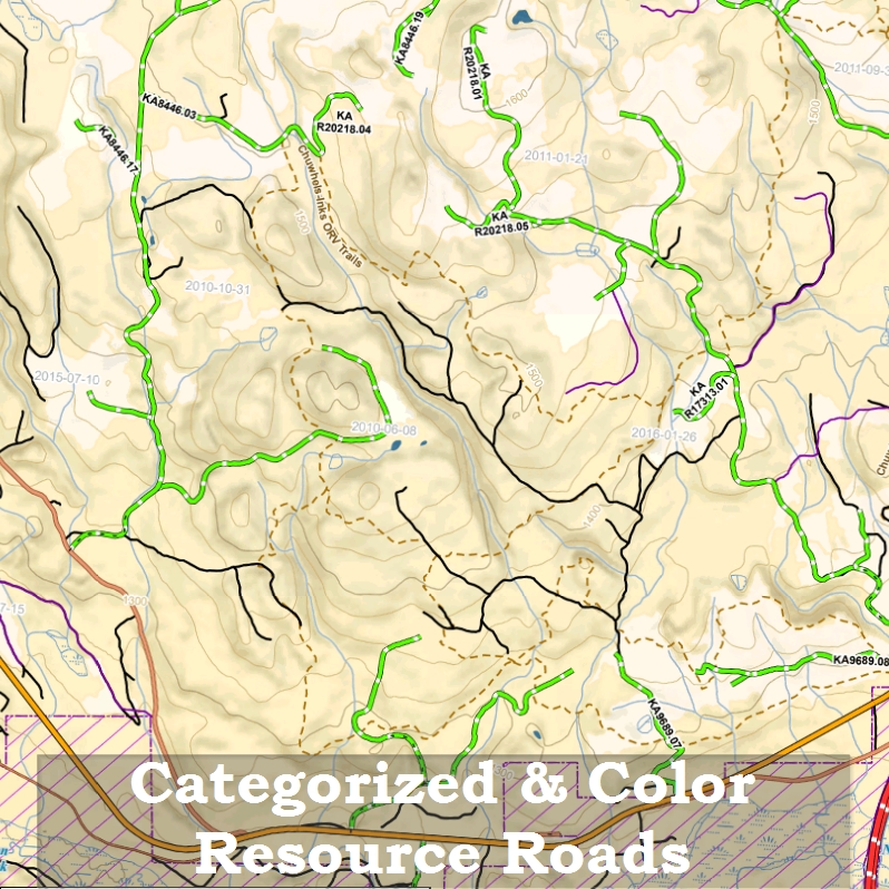
Categorized Roads & Resource Roads
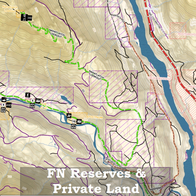
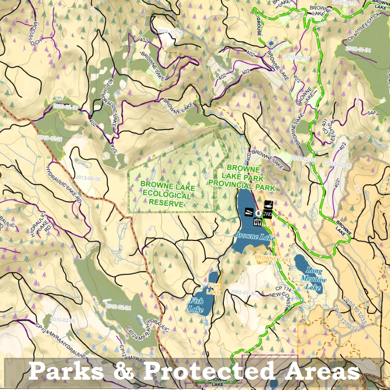
Legal Boundaries
Big Treed Old Growth
Ancient Old Growth
Historical Forest Fires
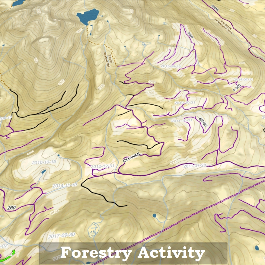
Forestry Data
Login
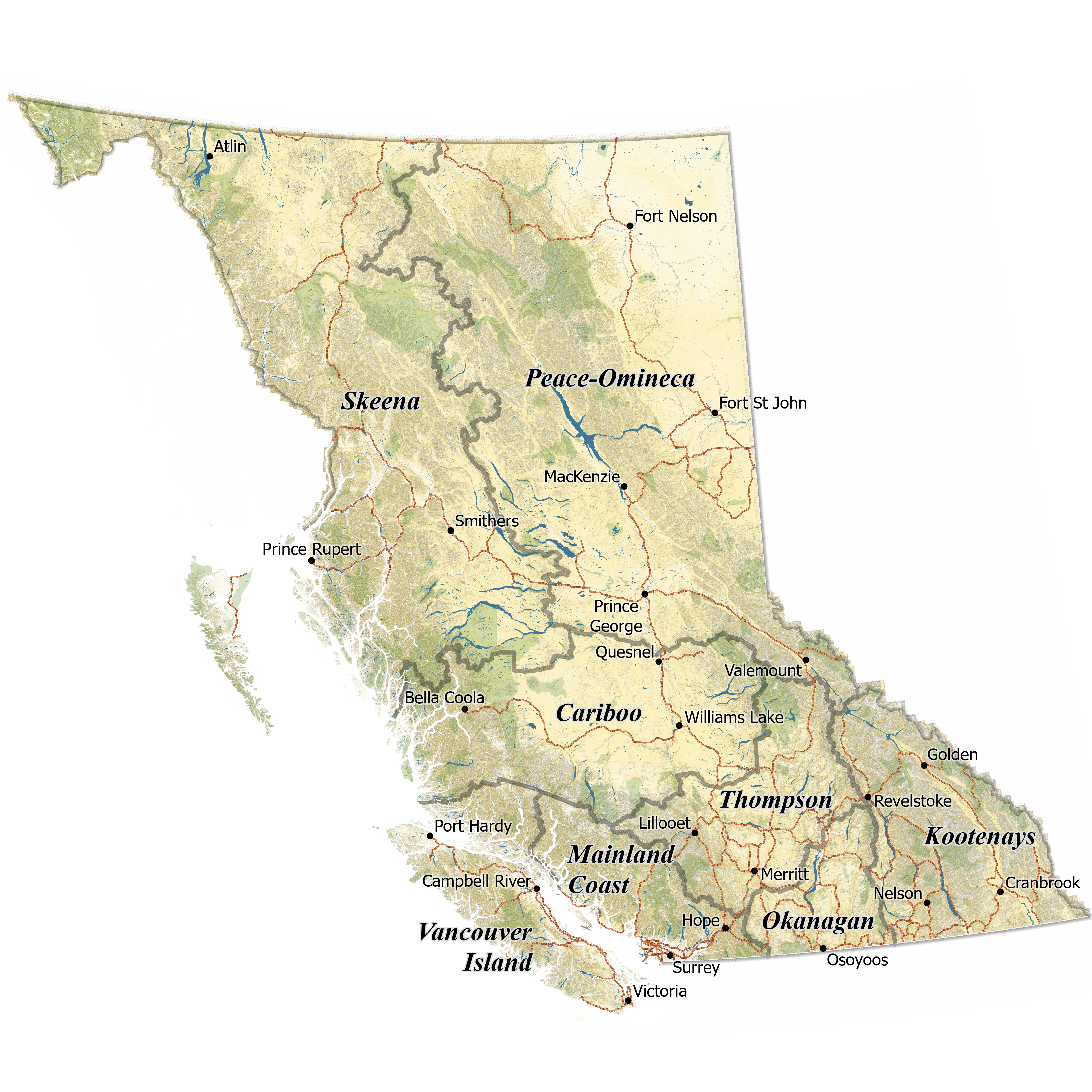
Purchase the Full Pack, or Shop Single Regions

CA$56.00*

CA$56.00*

CA$56.00*

CA$56.00*

CA$56.00*

CA$56.00*

CA$56.00*

CA$73.50*